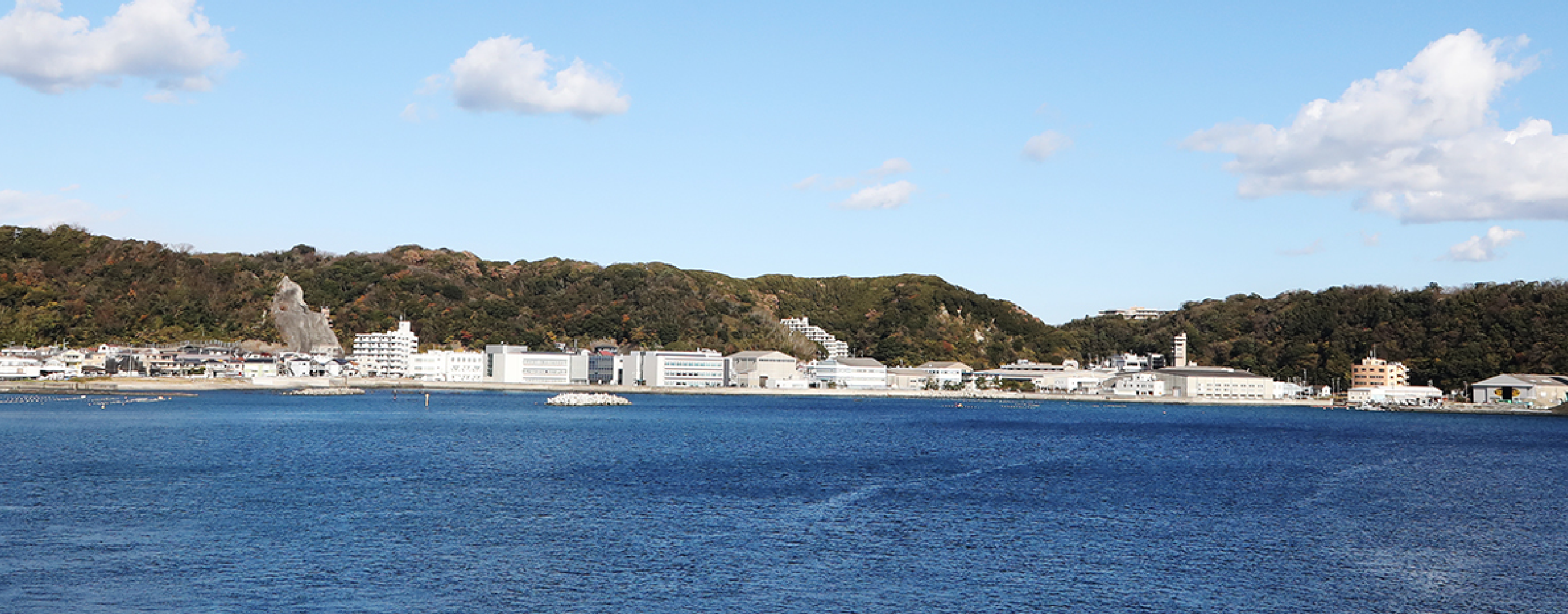
Marine Environment Control System Department
Ise Bay 2009 data
| Period | 2nd layer and 3rd layer |
2nd layer and 5th layer | 2nd layer and 12th layer | Remarks |
|---|---|---|---|---|
| Nov, 2009 | MP4/1,812KB | MP4/1,774KB | MP4/1,732KB | Nov, 6-30:No data |
| Oct, 2009 | MP4/4,293KB | MP4/4,274KB | MP4/4,220KB | Oct,14-28:No data Oct,16-28;No water quality data GPS failure |
| Sep, 2009 | MP4/5,151KB | MP4/5,150KB | MP4/5,061KB |
Sep,1-13,15:No data GPS failure |
*The flow of the second layer measured by ADCP is showed by red color, and the flow of the other layer by blue color.
*In the map, circles mean observed points of temperature and salinity, and crosses mean non-observed points of current.
*Jan, 2009 - Sep, 2009, Dec, 2009 : No data


